Bitterroot River
Bitterroot River
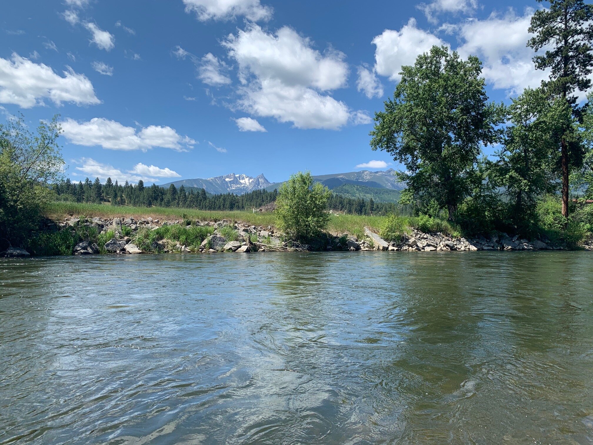
An enigma among western Montana’s tumultuous freestone rivers, the Bitterroot flows in easy fashion, pacing itself along a serpentine path through a postcard-worthy valley. Framed between the Sapphires and the river’s namesake range, the latter remains snowcapped throughout the seasons, feeding the Bitterroot via perennial glacial tributaries. The river’s North-South orientation and wide floodplain capture mass solar energy and support a diverse subaquatic ecosystem. The Bitterroot is the first to thaw, the last to freeze and offers seven months of dry fly opportunity-unheard of on a Northern Rockies freestone river system. However, this river is fickle and subject to erratic fluctuations in flows, temperature, and atmospheric conditions. The channels redirect with regularity following spring runoff events, and each stretch along the 84-mile path behaves, and fishes, uniquely. The upper river tends to harbor more willing native Westlopes and rainbows, while the lower reaches are home to some mammoth and extremely wary brown trout. It is this unpredictability, the variety and abundance of mayflies and stoneflies, and the possibility of hitting it right on the head and experiencing dry fly trout fishing at its best, that keeps anglers guessing and returning to the Bitterroot year after year.